
Solutions · 02
See more.
Know sooner.
Aerial systems bring a new point of view to fields, assets, terrain, and infrastructure—turning hard-to-reach information into usable insight.
A platform for perspective
From field-level action
to high-level intelligence.
AeroCapita’s broader solutions span agricultural operations, mapping, thermal inspection, and industrial aerial workflows. Shakti’s certified intended use remains agrochemical spraying.
 AG-01
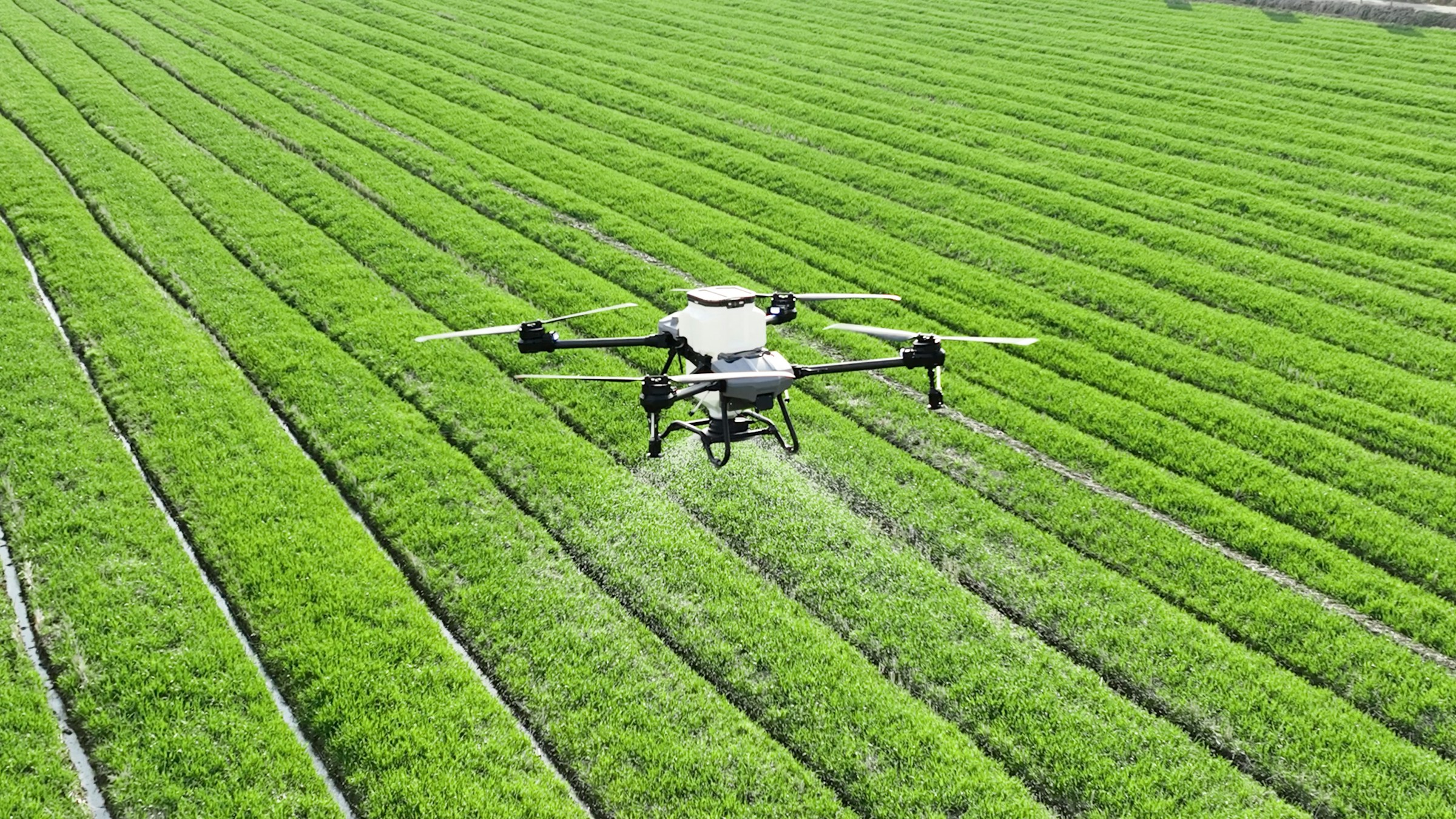
AG-01Precision agriculture
Targeted spraying and crop monitoring that support more efficient, responsive farm operations.
 MAP-02
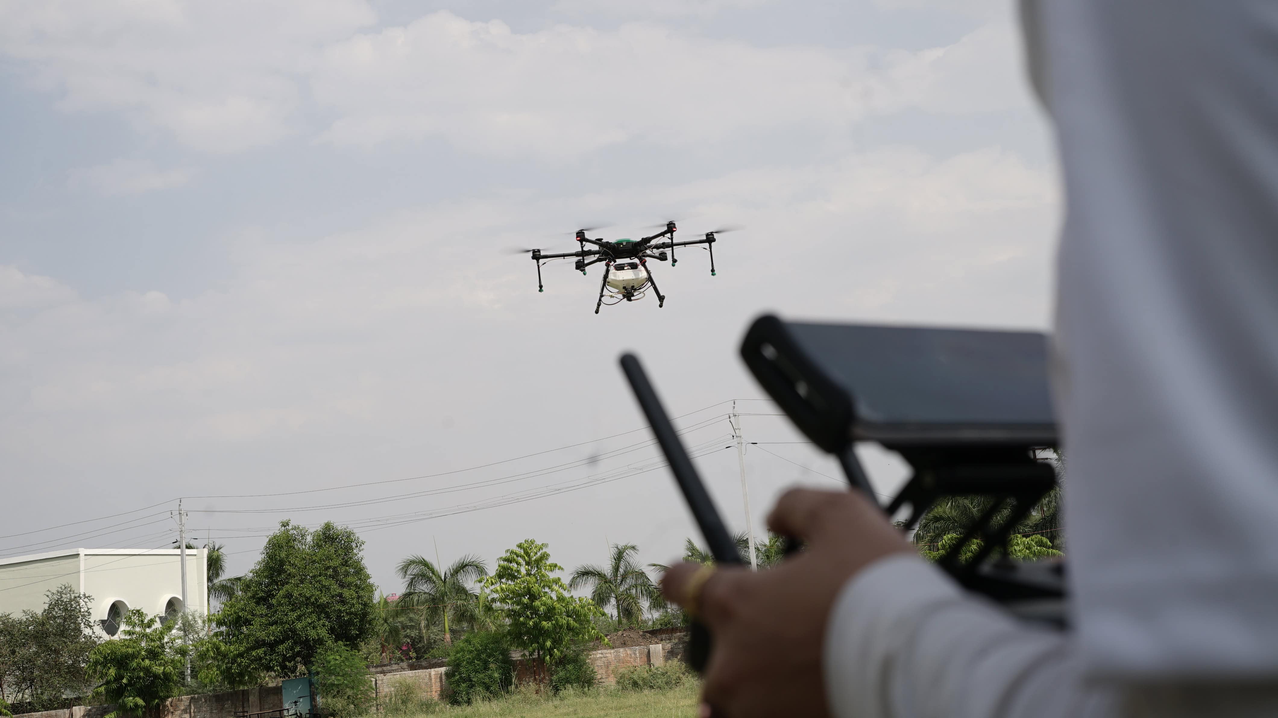
GIS mapping
Aerial data capture for accurate geospatial mapping, planning, and site intelligence.
 LDR-03
LiDAR analysis
Dense spatial data for terrain, asset, and environment analysis across complex sites.
 THM-04
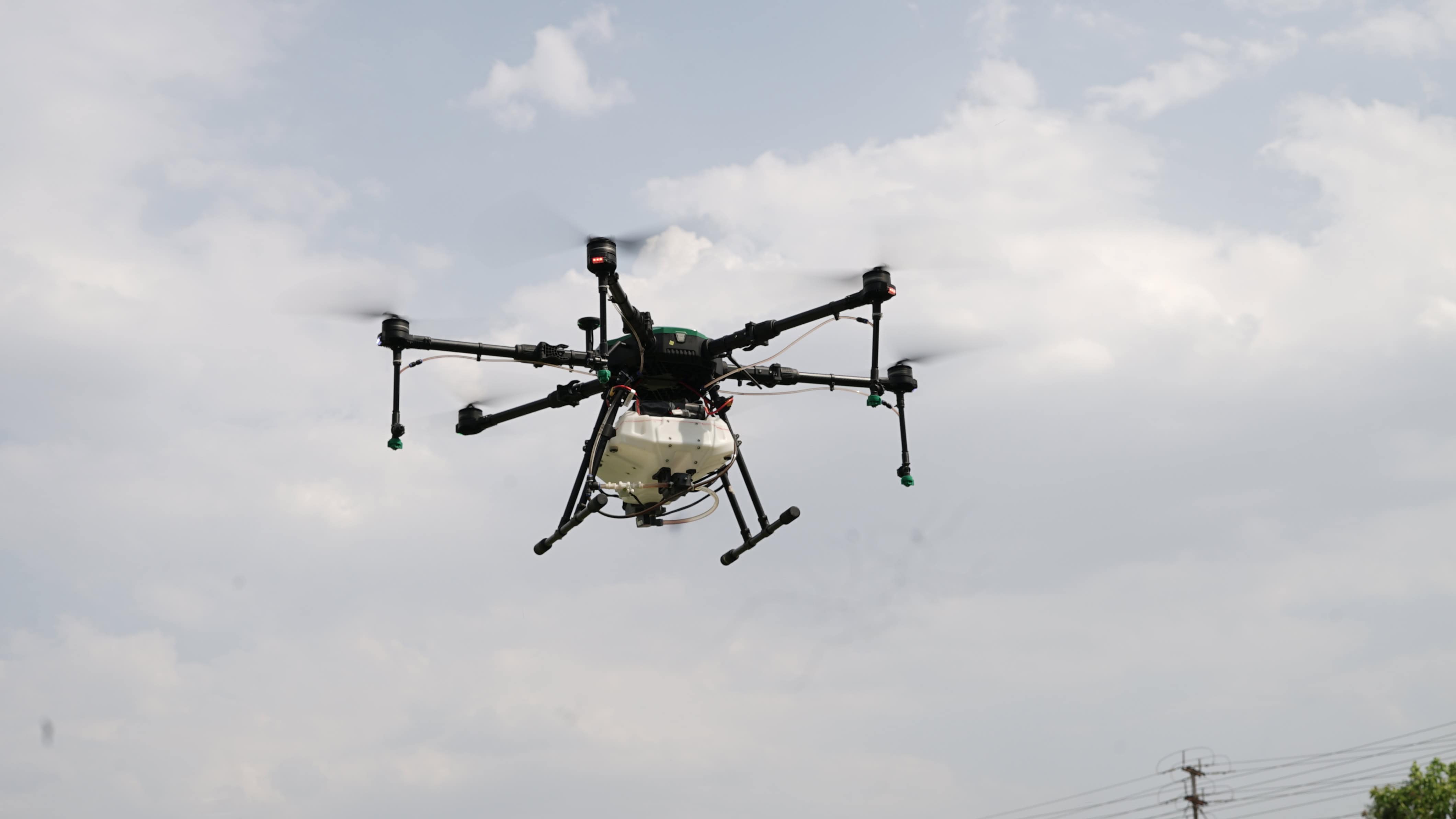
Thermal imaging
Heat-based inspection workflows that reveal anomalies invisible to standard cameras.
 ENR-05
Energy inspection
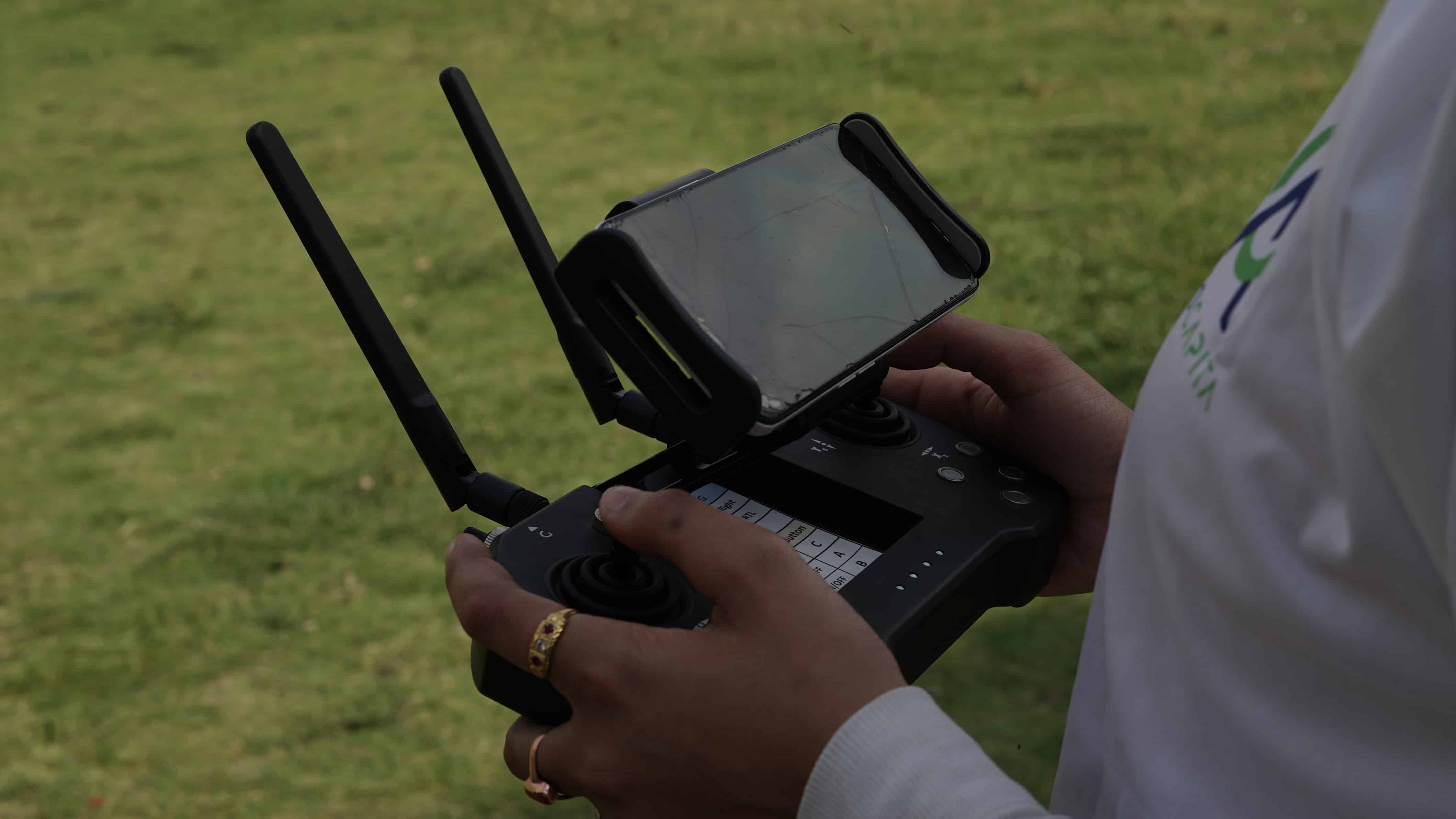
Efficient solar-panel and structural assessment with less disruption on the ground.
 OPS-06
Industrial operations
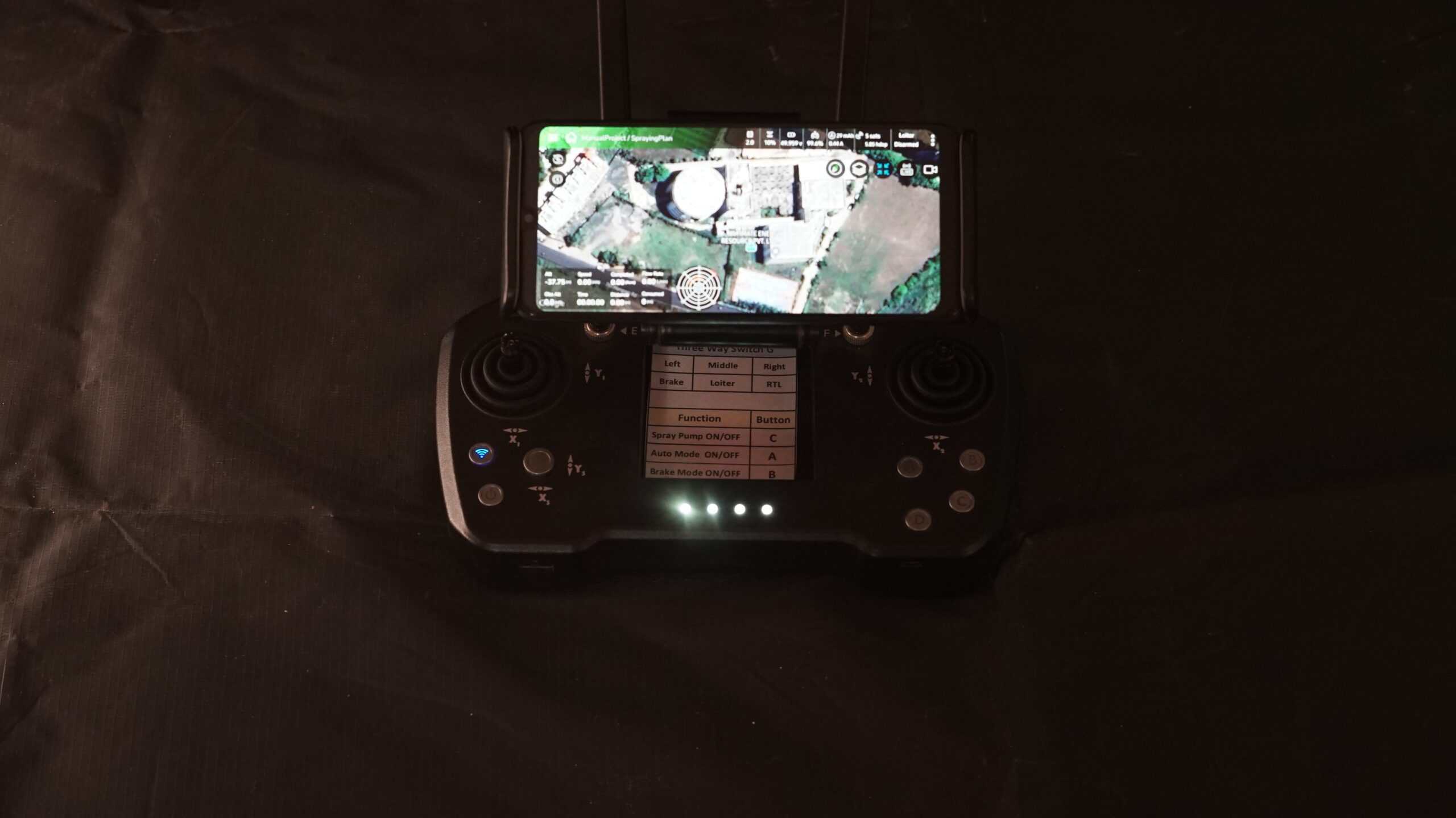
Aerial insight for warehouse management, asset checks, and precision inspection work.
The AeroCapita approach
Capture.
Interpret.
Act.
- 01
Define the mission
Start with the operational problem, the environment, and the information needed.
- 02
Choose the right payload
Match the aircraft and sensor workflow to the mission—not the other way around.
- 03
Deliver usable insight
Translate aerial data into clearer decisions and more efficient ground action.
Bring us your use case
Complex operation? Let’s find the aerial angle.
Share the site, challenge, or data need. AeroCapita will help frame a practical drone-led workflow.